RealityMaps 3D tour planner Reviews
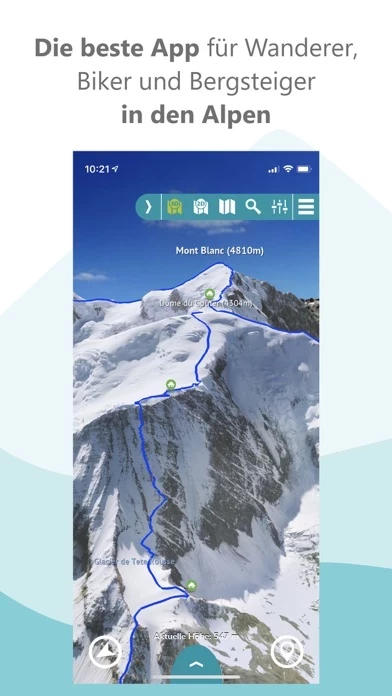
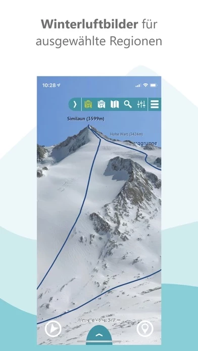
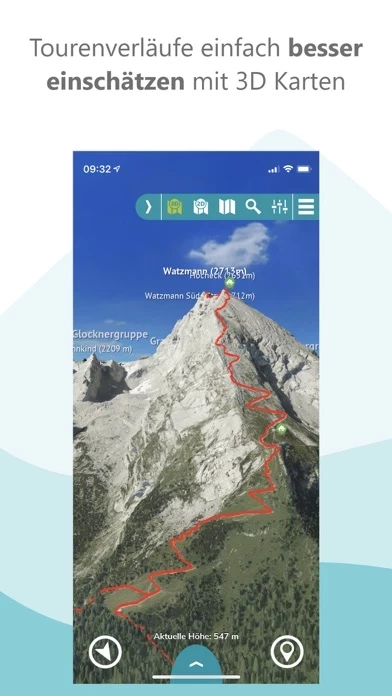
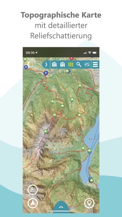
Published by 3D RealityMaps GmbH on 2026-06-24🏷️ About: PHOTOREALISTIC 3D MAPS FOR BETTER TRIP PLANNING The award-winning outdoor navigation app is the perfect tool for planning your next trip and finding your way around. The unique photo-realistic 3D representation of the mountain landscape allows an intuitive, realistic assessment of the terrain and the requirements.