Mapillary Logiciel
Nom de la société: Mapillary AB
À propos: Mapillary has built a street-level imagery platform that uses photos which have been uploaded by
members of the public.
Siège social: Malmö, Skane Lan, Sweden.
Mapillary Présentation
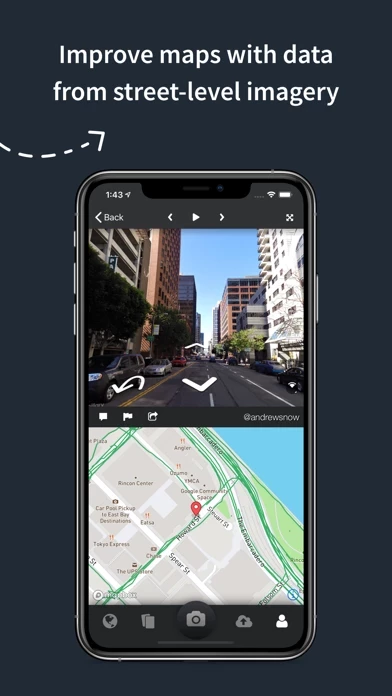
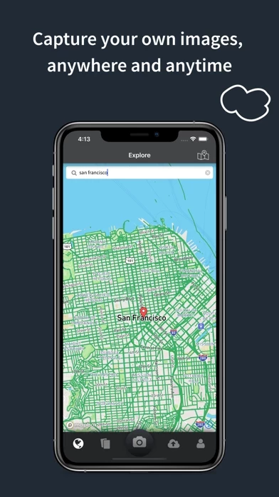
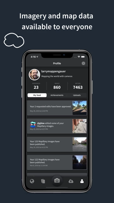
Mapillary combines all images into a collaborative street-level view of the world that’s available for anyone to explore and use for improving maps, cities, and mobility.
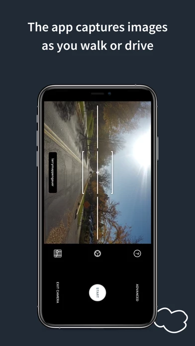
Mapillary is the street-level imagery platform that scales and automates mapping using collaboration, cameras, and computer vision.
Captures d'écran officielles
Détails du produit et description de
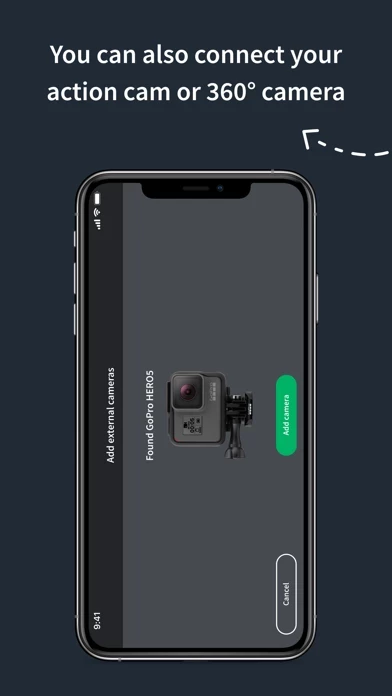
l’application is the street-level imagery platform that scales and automates mapping using collaboration, cameras, and computer vision. Anyone can capture images of any place, as often as needed, with any camera—including smartphones. l’application combines all images into a collaborative street-level view of the world that’s available for anyone to explore and use for improving maps, cities, and mobility. Computer vision technology provides a smooth viewing experience and speeds up mapping through machine-extracted map data. Capturing with the l’application mobile app is the easiest way to join our contributor network. Let’s get started! CREATE YOUR OWN STREET-LEVEL VIEWS You control when and where to capture to create the freshest street-level imagery. l’application’s technology combines all images into a navigable view and blurs faces and license plates for privacy. ACCESS AND OPEN UP DATA l’application contributors are people, organizations, companies, and governments in 190 countries. Millions of images are added to the dataset every week, which you can explore right here in the mobile app. MAKE BETTER MAPS Use imagery and machine-extracted data to add details to maps and geospatial datasets. l’application integrates with tools like OpenStreetMap iD editor and JOSM, HERE Map Creator, and ArcGIS. To access the available map data, go to l’application.com/app.
Haut Avis
Par lacrique
Outil formidable !
Une appli pour constituer un "street view" libre et collaboratif, et aider OpenStreetMap...
Par Franck Didier dubosk
Pas degeu
Sa passe