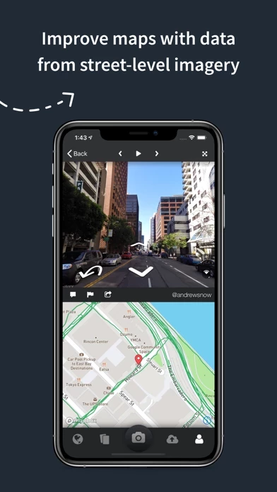
Mapillary combines all images into a collaborative street-level view of the world that’s available for anyone to explore and use for improving maps, cities, and mobility.
Mapillary is the street-level imagery platform that scales and automates mapping using collaboration, cameras, and computer vision.
Computer vision technology provides a smooth viewing experience and speeds up mapping through machine-extracted map data.
Mapillary’s technology combines all images into a navigable view and blurs faces and license plates for privacy.
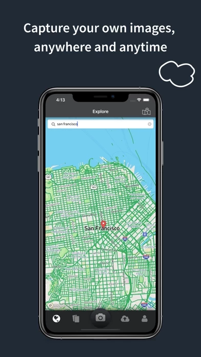
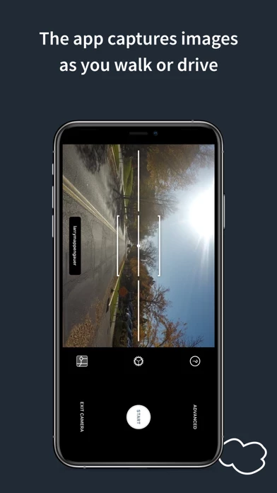
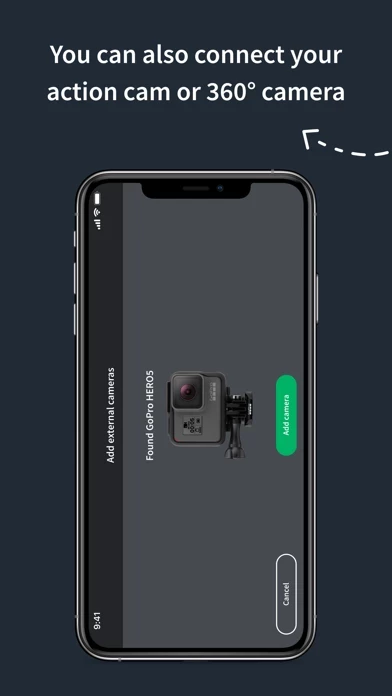
Capturing with the Mapillary mobile app is the easiest way to join our contributor network.