Atlas Obscura Travel Guide Reviews
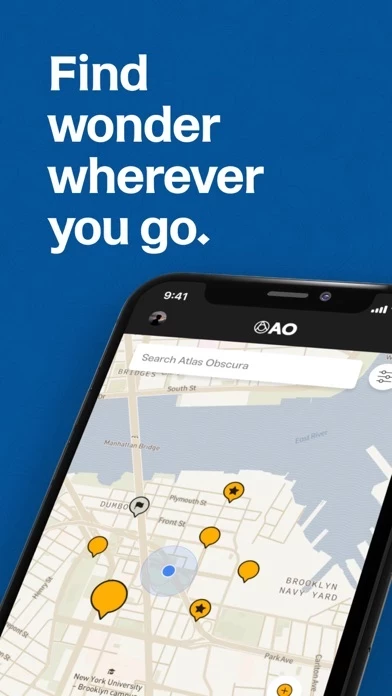
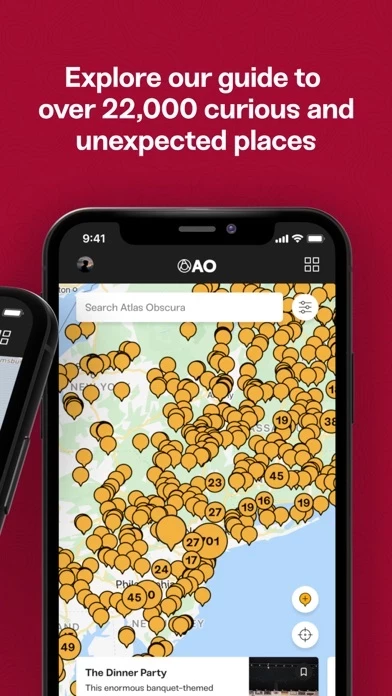
Published by Atlas Obscura, Inc on 2025-02-09🏷️ About: The Atlas Obscura app is designed to help users discover unique and off-the-beaten-path places around the world. The app features a map that plots the entire Atlas Obscura database, allowing users to easily find interesting places nearby or plan their next trip. Each entry in the app provides detailed information, photos, and tips from the community, making it easy for users to learn about what makes each place so unique. Users can also create custom lists to organize their itinerary or bucket list, track their progress exploring the world of Atlas Obscura, and contribute new places to be published in the app.