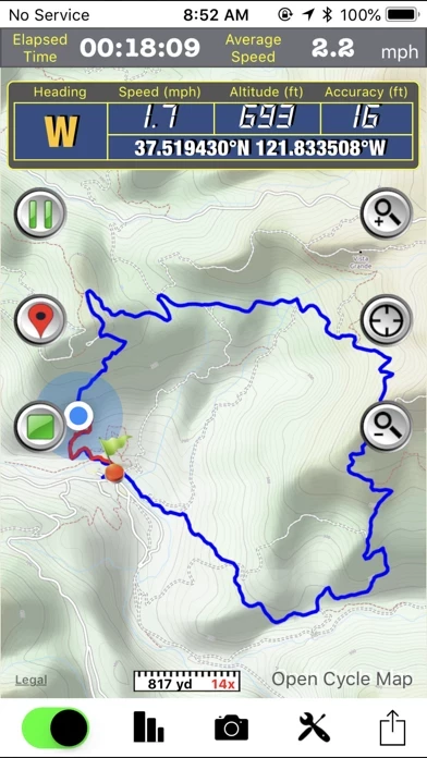
It supports GPS track logging, GPX file import/export and offline maps (Open Street Map, Open Cycle Map, Hike Bike and Custom Map Image) download and viewing.
While in the outdoors and without cellular service, you can display currently logging tracks and previously logged tracks made by other parties simultaneously on the offline map to make sure you are on the right track.
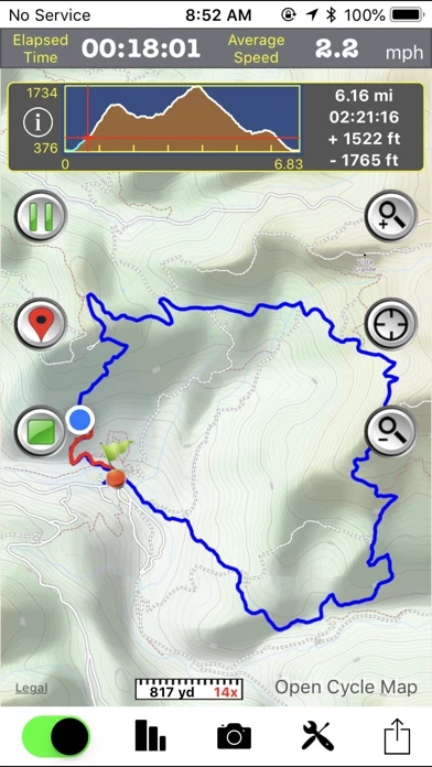
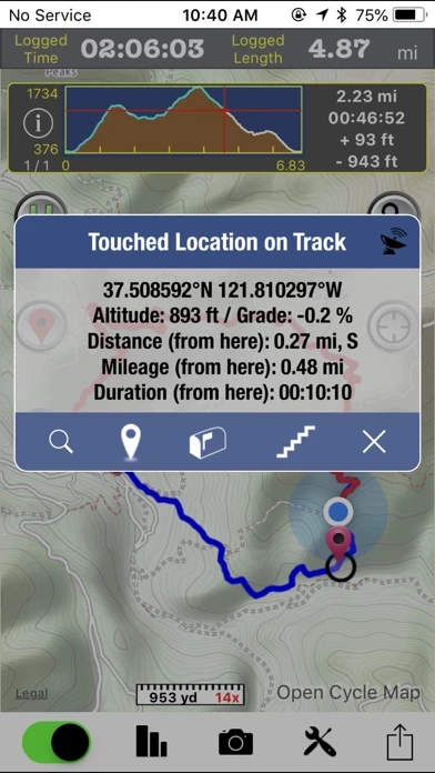
• Trip Analysis allows you walk through the imported tracks in minutes and learn the related mileage, altitude and time information.
• You need to connect your iOS device with iTunes and enable the Application File Sharing feature to add GPX files and custom map images to the application or to retrieve the GPX files for your trips.
• Follow the track of the imported trip to assist your navigation.