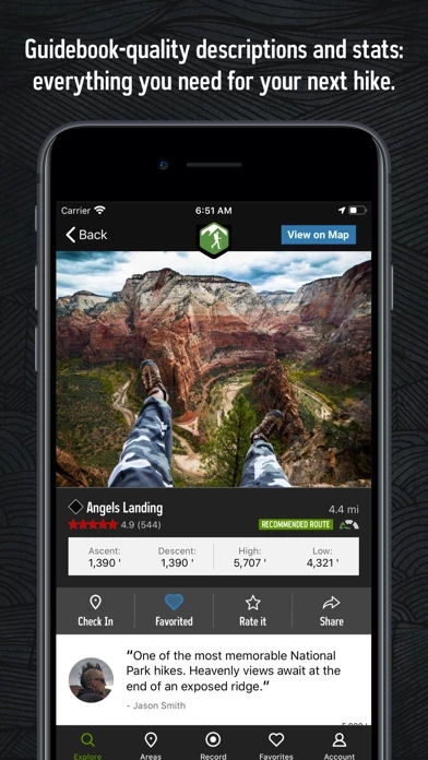
Local experts show you the highlights, challenging features, and insights you need to plan a great day on the trails.
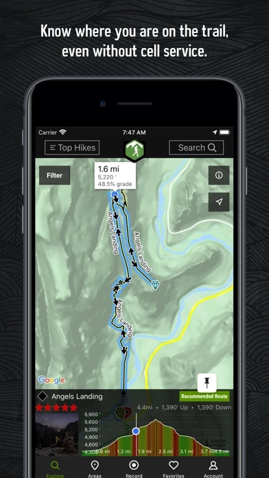
With the thoroughness of a printed map, we offer full GPS route info, elevation profiles, interactive features, photos, and more.
By using GPS, we can show your location on trails and vertical profiles.
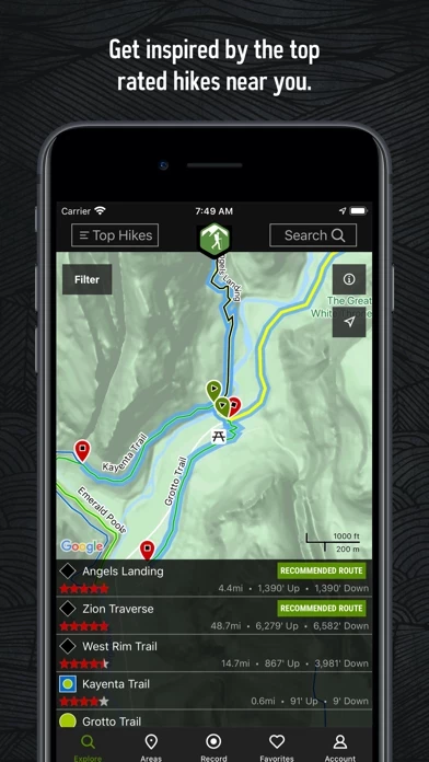
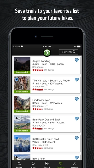
Like a guidebook, we suggest the best featured hikes to explore—either near your current location or in an area you search for.
• New trails are constantly added to our incredibly detailed hiking database.
• Enjoy high-resolution photos and detailed topographical trail maps.
• Downloaded trails work offline for when you’re off the grid.
Hiking Project is your comprehensive guide to the best hikes near you, wherever you are.
• Find over 74,000 miles of trail to hike with your crew.
Continued use of GPS running in the background can dramatically decrease battery life.