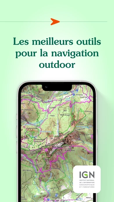
Topographic and road maps (current, 1950)**, Scan 1/25k all scales**, OACI (aviation)**, ESRI** (worldwide), French satellite view (current, 1950-1965, 2000-2005, 2006-2010), cadastre**, French administrative limits, Plan IGN V2, slopes 30° 35° 40° 45°, restricted drone areas, 19th century maps, Paris satellite view (1818-1824, 1906, 1965-1980).
Topographic and road maps, satellite view, hiking trails, gliding maps, OACI (aviation), geological maps, slopes >30°.
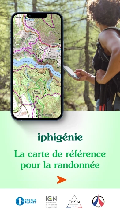
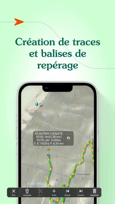
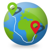
But much more than just your location on a map, iPhigénie offers you a variety of tools that will allow you to prepare, follow, record, archive and share your outings.
Iphigénie is a complete mapping app which - thanks to more than 40 maps - will allow you to find your way anywhere in the world.
By selecting iPhiGéNie, you enjoy not only a complete and stable application, but also a customer-focused team available to answer all your questions and assist you as you progress.