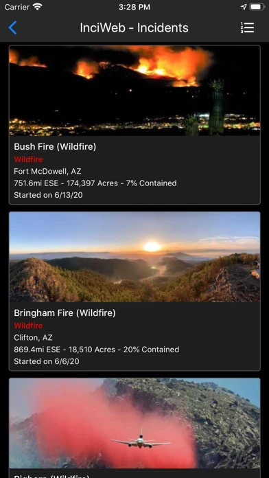
Fires provides maps, photos, and information about historical wildfires from CAL FIRE for 2017-2020, and quick access to historical fire perimeters from 2000-2018.
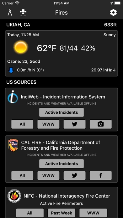
Fires provides maps, photos, and information about wildfires from several sources for the United States.
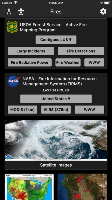
Fires provides Fire Weather Forecast & Outlook maps intended to delineate areas of the US.
Your iTunes account will be charged for renewal within 24 hours of the end of the current period, and identify the cost of the renewal.
Fires provides quick access to social media updates from national and state agencies.
Fires allows you to interactively browse the full set of global active fire detections from MODIS and VIIRS.
Fires provides extensive near real-time GOES (Geostationary Operational Environmental Satellite) imagery from NOAA.
Fires gives you a summary of your current local weather conditions from AccuWeather for free without a subscription.
Fires allows you to cache what you use and doesn't require you to manually save your maps, which saves you a lot of time.
Fires is a comprehensive wildfire information resource and navigation app.
Fires will give you offline GPS functionality and 3D base maps when there is no network coverage.
Fires will notify you when new incidents are downloaded within the maximum distance that you set from the source that you select.
Subscriptions automatically renew unless auto-renew is turned off at least 24 hours before the end of the current period.