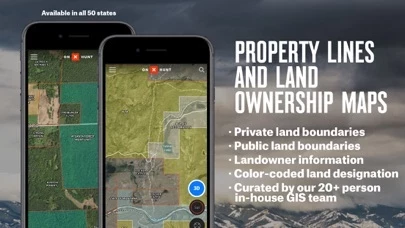
With a Premium State Membership, you gain access to our proprietary hunting GPS maps developed by our GIS team.
While onX Hunt & many of its features are free, you will also start a free Premium State Membership trial when you install the App.
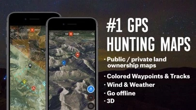
onX Hunt has been featured in Field and Stream, Outdoor Life and American Hunter as the best hunting app, hiking app, and GPS app for any outdoorsman or hunter.
With an Elite Membership, you gain access to our proprietary maps for all 50 states.
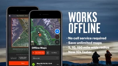
• Save private, or public hunting land maps for use when you are out of cell phone coverage.