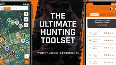
We’ve amassed an arsenal of cutting edge hunting maps and mapping features built to take your scouting, land management, hunt strategy development, and in-field navigation to the next level.
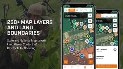
Leverage over 450 hunting maps, satellite imagery, and base layers designed to help you scout, dissect terrain, topography, and habitat features, and navigate confidently while you’re in the field.
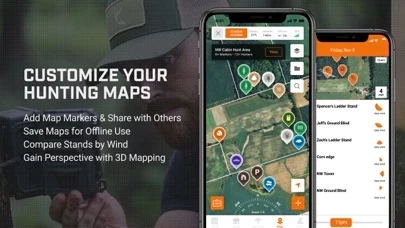
Share your hunt areas and associated pins, notes, and images with others, and get them up to speed on your favorite hunting locations in real time.
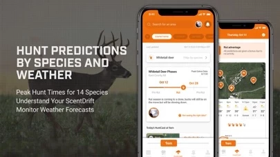
HuntCast’s proprietary algorithm tracks and analyzes key weather variables proven to influence species movement, allowing you to pinpoint, on a day by day, hour by hour basis, the absolute best times to hunt whitetail, turkey, waterfowl, big game, and more.
RutCast tracks all phases of the whitetail rut on a county by county basis and provides expert strategies to maximize your hunting effectiveness during each and every phase.