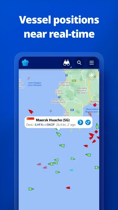
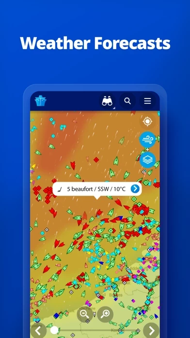
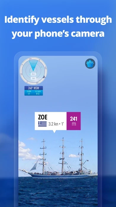
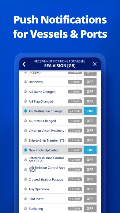
Intéressante pour savoir quels sont les bateaux au large de nos plages, mais pour le reste c'est vraiment de l'extorsion ! Achats in-app tous azimuts, il y en a 4 ou 5: météo, réalité augmentée, traffic détaillé etc, et à chaque fois des abonnements annuels de plusieurs dizaines d'euros.
Les détails à propos des gros navires, reçus par satellite, ne sont consultables qu'après avoir payé un accès valable uniquement 24h au prix d'un euro !
L'appli n'est par dessus le marché pas particulièrement bien finie, avec une optimisation pour grands écrans d'iPhone qui laisse à désirer.
Honte aux développeurs qui rackettent leurs utilisateurs...


