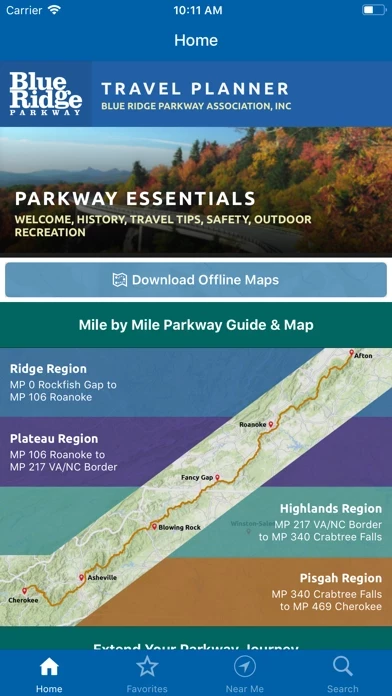
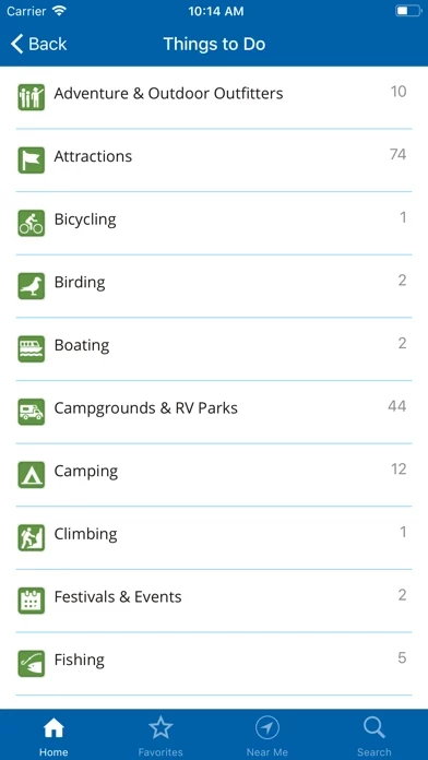
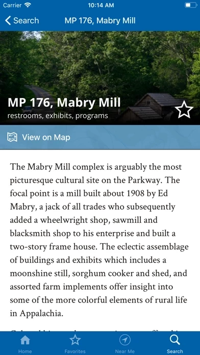
469 miles of scenic places, historic sites, trails, overlooks, interpretive exhibits, visitor centers, lodging, services, and essential information for visiting the Blue Ridge Parkway area.
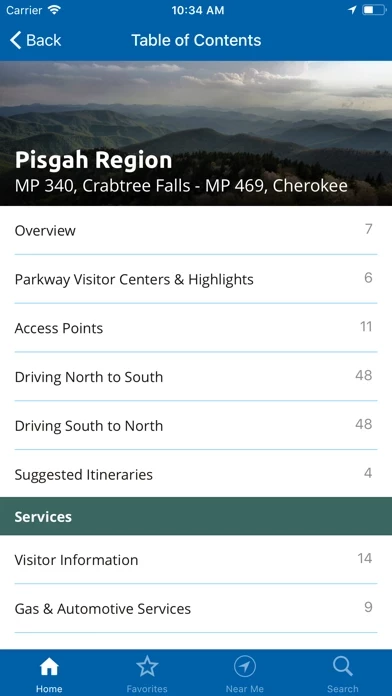
Access detailed information for the Parkway’s four major regions Ridge, Plateau, Highlands and Pisgah as well as information for connecting regions including the Great Smoky Mountains National Park region (located near the Parkway’s southern end) and the Shenandoah National Park region (near the Parkway’s northern end).
This free mobile application is published by the Blue Ridge Parkway Association to help you more fully enjoy your Parkway area vacation.
BRPA has been serving visitors since 1949 as an official partner organization of the Blue Ridge Parkway dedicated to providing tourism and hospitality information to the Parkway traveler.
Download the app to your phone to access content with or without a cell signal during your trip to visit the Blue Ridge Parkway area, or use it to plan your vacation before you leave home.


