● Many more fantastic and free functions could not be fully listed here, such as Guide Mark, Arrival Notification, Photo Mode, Map Level Adjust, Custom Icons, Photo/Video Attachments, Image Overlay, Text Overlay, Fast Editing, Distance/Perimeter/Area Measuring, Custom Time Zone, etc.
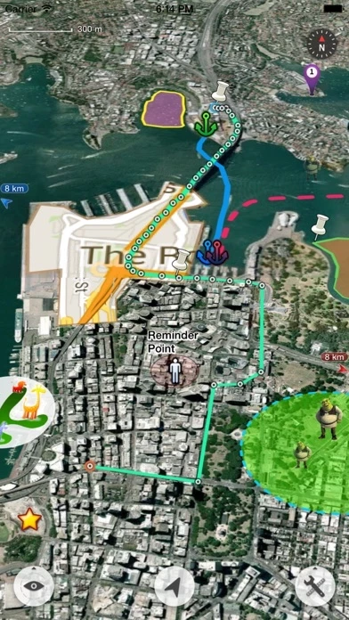
The most powerful and versatile tool for viewing and editing custom maps, surveying, editing or managing mass of your geography or travel data.
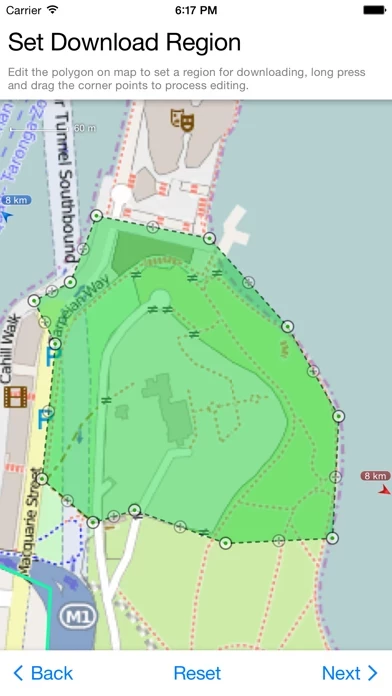
● Supports importing, viewing and downloading thousands of custom online maps, such as OSM, GoogleMap, BingMap, USGS, or any WMS/WMTS map services.
● You can use Map Plus as a professional GIS tool for geographic data gathering, editing, measuring, cartography, surveying, planning, online/offline viewing and many other management.
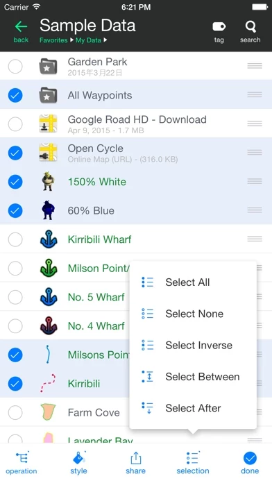
● Importing and exporting KML/KMZ files with full styles, extended data and "gx" extension support.