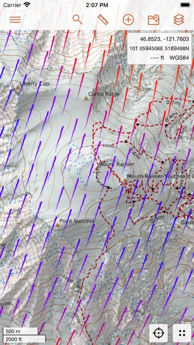
CalTopo contains tools to plan your backcountry adventures including offline topographic maps and aerial imagery, slope angle shading, viewshed analysis, realtime SNOTEL and weather data, and many more options.
The mobile apps integrate seamlessly with the CalTopo website allowing realtime syncing with the web application allowing updates to maps and routes to be passed back and forth (while you still have cell service).
If you're traveling off the grid you can download mapping layers and maps that you've created to help guide you on your adventures.
CalTopo for iOS extends your adventures from the desktop to the field.
When you're back you can sync the record of your journey back to the CalTopo website.


