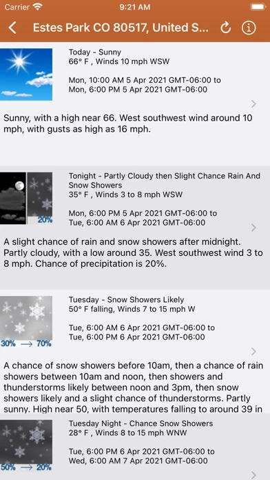
Lookup current weather conditions, including temperature, wind and gust conditions, and local forecasts anywhere in the USA using map quick lookup or search: Detailed NWS Forecast, Hourly Forecast, Grid Data Forecast, and Summary Forecast.
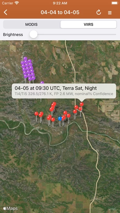
NASA MODIS and VIIRS satellite instruments: Thermal hotspot maps by region show wildfire activity in the past 48 hours.
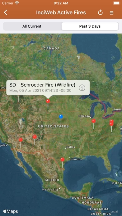
Lookup a driving route to any fire or hotspot with Google or Apple Maps directions Universal Links.
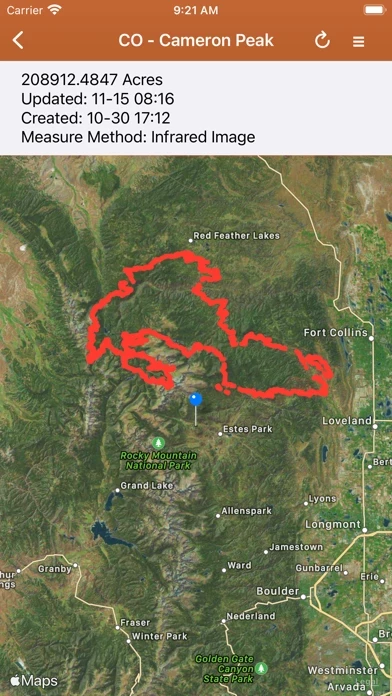
IRWIN Current Wildfire Perimeters (Integrated Reporting of Wildland Fire Information).
Information is posted as soon as it becomes available from IRWIN, NASA, InciWeb, CAL FIRE, CHP, NOAA, NWS.