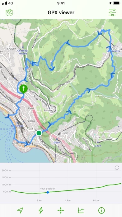
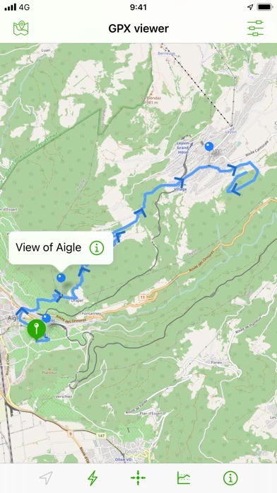
Display them on different preset maps (plan, satellite, OpenStreetMap, OpenTopoMap, Swisstopo, IGN) or on your own custom maps.
Note: If the application cannot open a GPX file, contact me by sending me the file.
Import your routes in GPX format (tracks or routes) into the application.
Display an elevation graph to evaluate their difficulty.
Follow your position along the route during your ride.
All what you need to go hiking and follow your route.
You can also display points of interest from GPX.
The only in-app purchases are tips for few other features, take a look.
And check out all of their information.
All for free and without ads.