Wildfire & Earthquake Tracker Software
Firmenname: corey hoggard
Wildfire Earthquake Tracker Übersicht
The Wildfire and Earthquake Tracker is an interactive mapping application that tracks US wildfires and Global earthquakes.
This map provides you with up to the minute data and access to global wildfire's as well as reported earthquakes.
Offizielle Bildschirmfotos


Produkt einzelheiten und Beschreibung von
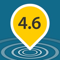
The Wildfire and Earthquake Tracker is an interactive mapping application that tracks US wildfires and Global earthquakes. The data feed comes from the USGS and and US Forestry Service. This map provides you with up to the minute data and access to global wildfire's as well as reported earthquakes. -Wildfire Information and Location -Earthquake Information and Location -GPS integration -Interactive Map -Map Tables with data analysis