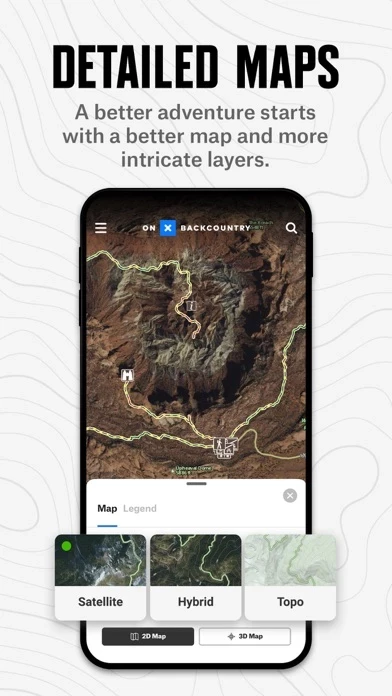
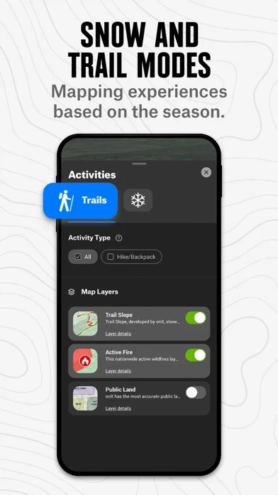
View backcountry trails near you with photos and descriptions, explore 24K topographic and satellite maps, unlock a whole new season of hiking and backpacking adventure, find public land, check the 7-day weather forecast -- and for backcountry skiing and splitboarding, study avalanche forecasts and slope angles.
Brought to you by onX, the leader in outdoor-recreation mapping apps loved by millions of users, onX Backcountry provides the unique combination of guidebook-quality trail content and photos, always-available GPS location data, and an easy-to-use contextual mapping experience including 3D, distance and tracking tools, your photos on the map, and more.
If you choose not to buy, you’ll continue to have access to the free version of onX Backcountry app, including basic trail maps, weather, and Waypoints.
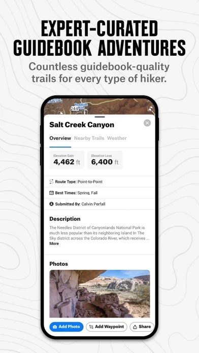
Discover your next trails adventure by choosing from our industry-leading 650,000 mile network of trails, or try one of our 10,000+ Featured Adventures to see detailed trail information including photos, description, difficulty, distance, elevation, etc.
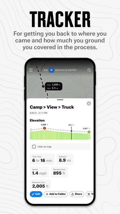
onX Backcountry turns your phone into a robust GPS navigation system and trail finder with real-time location tracking.