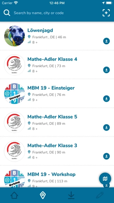
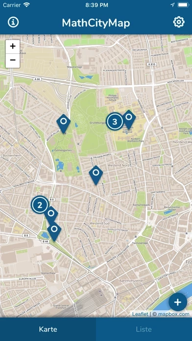
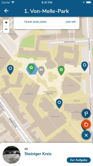
The MathCityMap App for smartphones is developed for students who would like to walk a math trail during school lessons or even for interested users who want to explore their surroundings with a mathematical point of view.
The app leads the user via GPS to the mathematical tasks of a chosen math trail and gives automaticaly feedback on the answers of the user.
MathCityMap is based on the math trail idea introduced in Melbourne, Australia in 1984 (that time on paper only).
Good tasks will be made public and can be used by everyone to combine them with their own tasks for a personal math trail.
The MathCityMap web portal is for teachers and creative minds who want to create tasks and trails.


