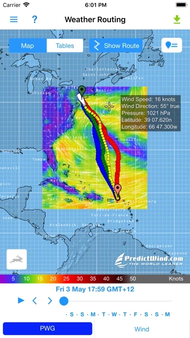
The Weather Routing & Departure Planning is calculated on the PredictWind server with the highest resolution forecast data, but the file size is incredibly small, making it ideal for transmission over low bandwidth Satellite & SSB connections.
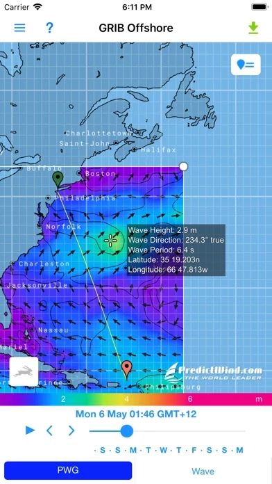
Powered by PredictWind's world leading marine weather forecasts, the free offshore app allows seamless downloading of multiple GRIB files for your coastal or offshore passage.
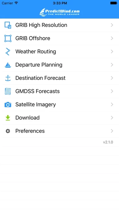
The intuitive interface allows you to download and immediately view GRIB files, weather routes, GMDSS Text forecasts and Satellite Imagery.
PredictWind's proprietary PWG and PWE marine weather forecast models are available along with the ECWMF and GFS models to provide the most accurate forecasts, available at the highest resolution.
Download and view animated weather forecasts, Weather Routing and Departure Planning for your next offshore passage.


