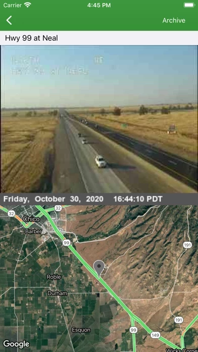
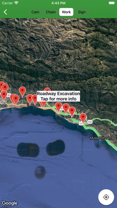
Browse Caltrans CCTVs, lane/road closures, chain control info, and changeable message signs.
All road info and Caltrans CCTVs are on a Google Map with the current traffic layer.
Every 10 minutes, or once every 10 frames, am archive image is taken and kept for 24 hours.
This is useful for viewing developing weather conditions, construction, heavy traffic, etc.
Caltrans cameras typically take a new image every minute or two.
This app is not affiliated with Caltrans or Google.
You will also get larger maps throughout, as they will expand to fill the space that was taken by the ad.
Choose from Regular, Satellite, Hybrid, or Terrain maps.
There is a fixed banner ad from Google on the bottom of app's content.
For an affordable yearly subscription price, you can stop the ads from initializing and displaying.