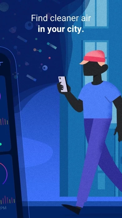
DETAILED MAPS: Live, street-by-street air quality maps give you detailed information about pollution levels on each street, in real time! Find the best route to work, pick the cleanest parks for a playdate—it’s all there in a stunning, easy-to-read map.
Get live street-by-street pollution maps for the world’s major urban areas, and detailed information about how air quality will evolve over the next 72 hours—just like a weather forecast.
HYPER-LOCAL INFO: Street-level pollution information is at your fingertips—pick your places, get the forecasts, drill into the maps! Studies have shown that access to this type of air pollution information can help you reduce your exposure by up to 50%.
LIVE, HISTORICAL, AND FORECAST DATA: Plume Labs gives you real-time, city-by-city data for the most important pollutants - NO2, PM2.5, PM10, and O3.
CLEAN-AIR COACHING: Plume Labs gives you tips and tricks for finding clean air while running, cycling, having fun at the playground, and eating outdoors.