Tremor Tracker Erfahrungen und Bewertung
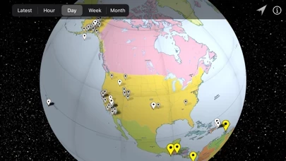
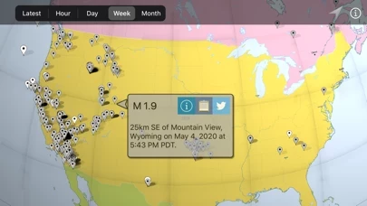
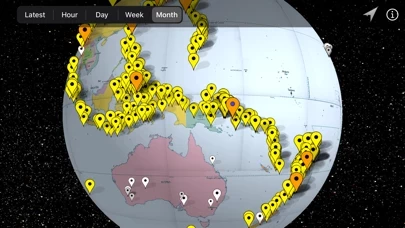
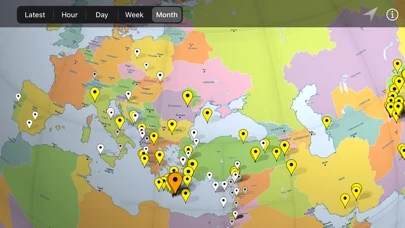
Veröffentlicht von Andrew Hoyer on 2020-05-05🏷️ Über: Tremor Tracker displays recent earthquake points on an interactive globe. Each earthquake can be tapped to display relevant data including magnitude, location, time, and tsunami warnings.