- Radar images: the US (Continental US, Alaska (except northern), Hawaii, Guam, Northern Mariana Islands and Puerto Rico), Mexico (northern), Canada (southern), Australia, the UK, Ireland, Germany, France, the Netherlands, Italy (northern and north-western), Denmark, Austria, Sweden, Finland, Spain, Portugal, Switzerland, Norway, Poland, Andorra, Japan, Taiwan and more.
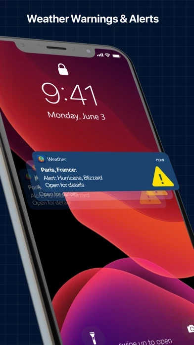
- Governmental severe weather warnings: Australia, Austria, Belgium, Canada, Denmark, Estonia, Finland, France, Germany, Ireland, Italy, Japan, Latvia, Luxembourg, Netherlands, Norway, Poland, Portugal, Spain, Sweden, Switzerland, UK, US.
- Stay tuned for warnings and watches of National Weather Service (such as Tornado and Severe Weather alerts): By tapping on the polygons read more about each alert in detail.
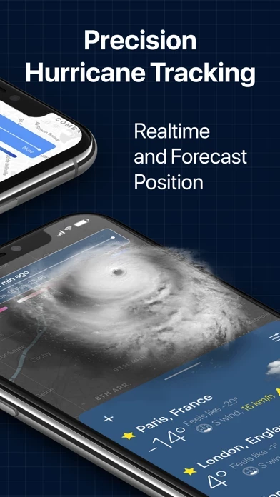
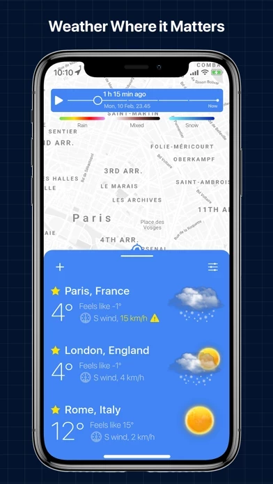
- View weather details (humidity, chance of rain/snow, wind speed, “feels like” temperature, visibility, sunrise and sunset time) 24/7 for any location.
A powerful Weather Radar App that combines science with simplicity for viewing real-time animated weather radar images.