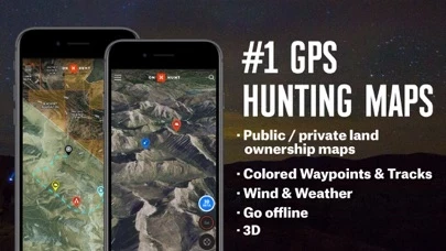
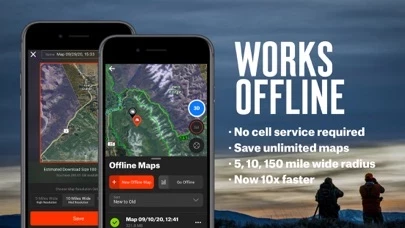
- Free GPS functionality with offline maps and location tracking
- Aerial view maps and 24K Topographical Maps with GPS Navigation
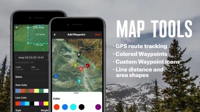
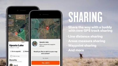
- Custom waypoints and tracks for navigation
- Distance measurement tool for treestands, hunt stands, and blinds
- Shape tool for measuring acreage of food plots
- GPS hunting tracker for tracking distance, duration, and speed of hunts
- Points of interest and geographic features
- DNR maps
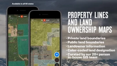
- Premium State Membership for access to proprietary hunting GPS maps, public land maps, landowner names and boundaries, hunting units for multiple species, and more
- Elite Membership for access to proprietary maps for all 50 states and exclusive tools and services
- Subscription management and auto-renewal options
- Customer support for feedback and feature requests.