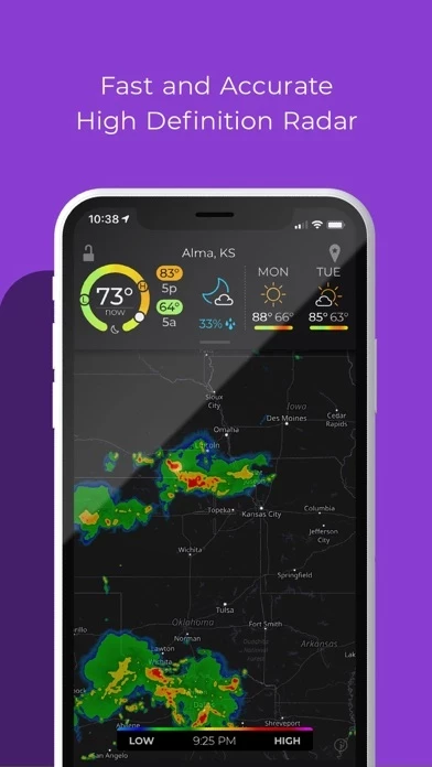
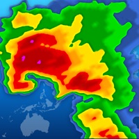
- Animated live radar with radar loop lengths of up to two hours
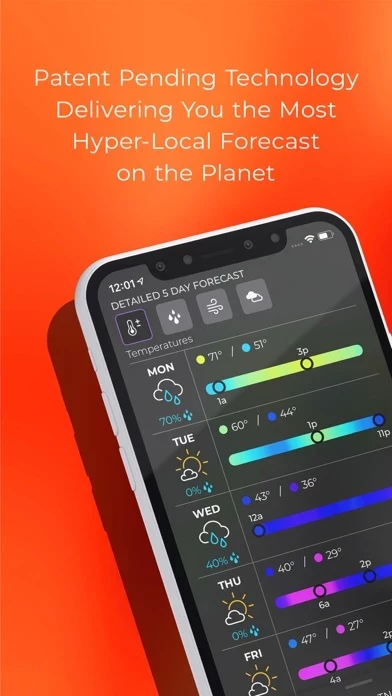
- Advanced rain alerts with patent-pending process for predicting hyper-local rainfall
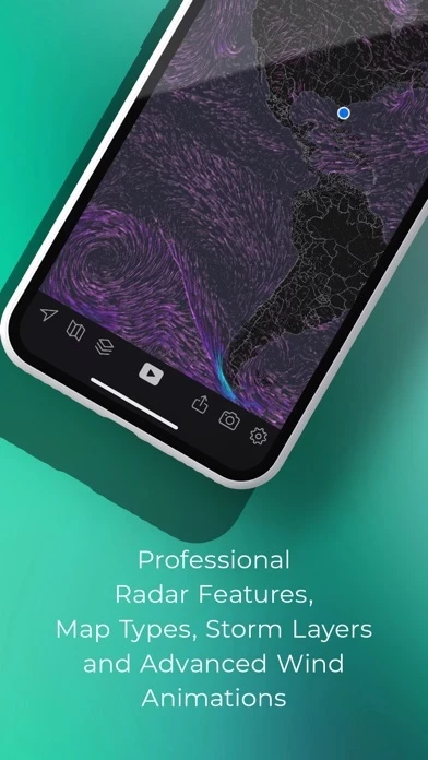
- Weather and environmentally-related data layers that you can overlay on top of the map, including animated winds, frontal boundaries, earthquakes, hurricane, and wildfires layers
- Ability to send weather and environmental alerts, including alerts from the National Weather Service, such as Tornado and Severe Weather alerts
- Real-time hurricane tracking with additional data above and beyond the free version, including the cone of probability for tropical storm/hurricane forecast tracks, and a detailed synopsis from the National Hurricane Center
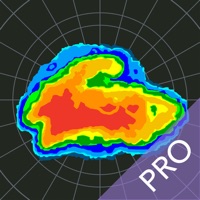
- Professional radar pack, which allows greater detail of radar from individual stations, including the ability to select individual radar stations around the US, select the radar tilt angle, and change the radar product being displayed, including base reflectivity and wind velocity
- Aviation Charts subscription (not required in order to use MyRadar) for tracking flights and displaying their IFR flight plans and paths
- Privacy Policy and full terms of service available on the MyRadar website.