How to Cancel OsmAnd Maps Travel & Navigate
Published by OsmAND B.V. on 2023-12-20We have made it super easy to cancel OsmAnd Maps Travel & Navigate subscription
at the root to avoid any and all mediums "OsmAND B.V." (the developer) uses to bill you.
Complete Guide to Canceling OsmAnd Maps Travel & Navigate
A few things to note and do before cancelling:
- The developer of OsmAnd Maps Travel & Navigate is OsmAND B.V. and all inquiries must go to them.
- Check the Terms of Services and/or Privacy policy of OsmAND B.V. to know if they support self-serve subscription cancellation:
- Cancelling a subscription during a free trial may result in losing a free trial account.
- You must always cancel a subscription at least 24 hours before the trial period ends.
Pricing Plans
**Gotten from publicly available data and the appstores.
OsmAnd Live
- Monthly subscription: $1.99
- Yearly subscription: $9.99
[2] In-app purchase: Region map
- All World Maps: $29.99
- Europe: $9.99
- Africa: $9.99
- Antarctica: $4.99
- Asia: $14.99
- North, Central, South America: $14.99
- Australia: $4.99


How to Cancel OsmAnd Maps Travel & Navigate Subscription on iPhone or iPad:
- Open Settings » ~Your name~ » and click "Subscriptions".
- Click the OsmAnd Maps Travel & Navigate (subscription) you want to review.
- Click Cancel.
How to Cancel OsmAnd Maps Travel & Navigate Subscription on Android Device:
- Open your Google Play Store app.
- Click on Menu » "Subscriptions".
- Tap on OsmAnd Maps Travel & Navigate (subscription you wish to cancel)
- Click "Cancel Subscription".
How do I remove my Card from OsmAnd Maps Travel & Navigate?
Removing card details from OsmAnd Maps Travel & Navigate if you subscribed directly is very tricky. Very few websites allow you to remove your card details. So you will have to make do with some few tricks before and after subscribing on websites in the future.
Before Signing up or Subscribing:
- Create an account on Justuseapp. signup here →
- Create upto 4 Virtual Debit Cards - this will act as a VPN for you bank account and prevent apps like OsmAnd Maps Travel & Navigate from billing you to eternity.
- Fund your Justuseapp Cards using your real card.
- Signup on OsmAnd Maps Travel & Navigate or any other website using your Justuseapp card.
- Cancel the OsmAnd Maps Travel & Navigate subscription directly from your Justuseapp dashboard.
- To learn more how this all works, Visit here →.
How to Cancel OsmAnd Maps Travel & Navigate Subscription on a Mac computer:
- Goto your Mac AppStore, Click ~Your name~ (bottom sidebar).
- Click "View Information" and sign in if asked to.
- Scroll down on the next page shown to you until you see the "Subscriptions" tab then click on "Manage".
- Click "Edit" beside the OsmAnd Maps Travel & Navigate app and then click on "Cancel Subscription".
What to do if you Subscribed directly on OsmAnd Maps Travel & Navigate's Website:
- Reach out to OsmAND B.V. here »»
- Visit OsmAnd Maps Travel & Navigate website: Click to visit .
- Login to your account.
- In the menu section, look for any of the following: "Billing", "Subscription", "Payment", "Manage account", "Settings".
- Click the link, then follow the prompts to cancel your subscription.
How to Cancel OsmAnd Maps Travel & Navigate Subscription on Paypal:
To cancel your OsmAnd Maps Travel & Navigate subscription on PayPal, do the following:
- Login to www.paypal.com .
- Click "Settings" » "Payments".
- Next, click on "Manage Automatic Payments" in the Automatic Payments dashboard.
- You'll see a list of merchants you've subscribed to. Click on "OsmAnd Maps Travel & Navigate" or "OsmAND B.V." to cancel.
How to delete OsmAnd Maps Travel & Navigate account:
- Reach out directly to OsmAnd Maps Travel & Navigate via Justuseapp. Get all Contact details →
- Send an email to [email protected] Click to email requesting that they delete your account.
Delete OsmAnd Maps Travel & Navigate from iPhone:
- On your homescreen, Tap and hold OsmAnd Maps Travel & Navigate until it starts shaking.
- Once it starts to shake, you'll see an X Mark at the top of the app icon.
- Click on that X to delete the OsmAnd Maps Travel & Navigate app.
Delete OsmAnd Maps Travel & Navigate from Android:
- Open your GooglePlay app and goto the menu.
- Click "My Apps and Games" » then "Installed".
- Choose OsmAnd Maps Travel & Navigate, » then click "Uninstall".
Have a Problem with OsmAnd Maps Travel & Navigate? Report Issue
Leave a comment:
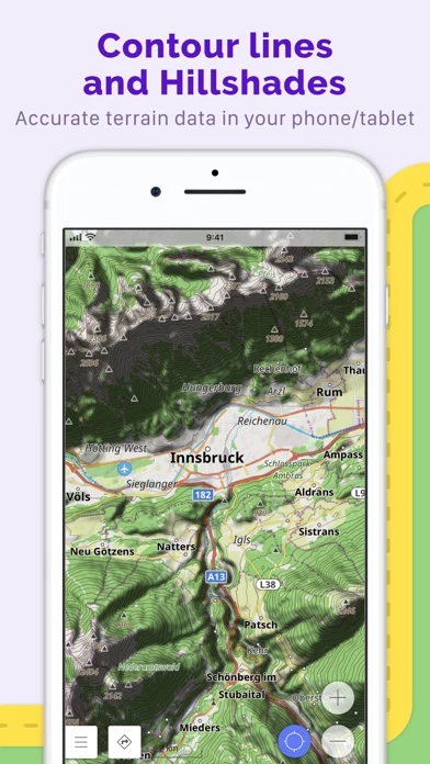
What is OsmAnd Maps Travel & Navigate?
OsmAnd is an offline world map application based on OpenStreetMap (OSM), which allows you to navigate taking into account the preferred roads and vehicle dimensions. Plan routes based on inclines and record GPX tracks without an internet connection. OsmAnd is an open source app. We do not collect user data and you decide what data the app will have access to. Main features: Map view • Choice of places to be displayed on the map: attractions, food, health and more; • Search for places by address, name, coordinates, or category; • Map styles for the convenience of different activities: touring view, nautical map, winter and ski, topographic, desert, off-road, and others; • Shading relief and plug-in contour lines; • Ability to overlay different sources of maps on top of each other; GPS Navigation • Plotting a route to a place without an Internet connection; • Customizable navigation profiles for different vehicles: cars, motorcycles, bicycles, 4x4, pedestrians, boats, public transport, and more; • Change the constructed route, taking into account the exclusion of certain roads or road surfaces; • Customizable information widgets about the route: distance, speed, remaining travel time, distance to turn, and more; Route Planning and Recording • Plotting a route point by point using one or multiple navigation profiles; • Route recording using GPX tracks; • Manage GPX tracks: displaying your own or imported GPX tracks on the map, navigating through them; • Visual data about the...