How to Cancel Topographic Maps & Trails
Published by LW Brands, LLCWe have made it super easy to cancel Topographic Maps & Trails subscription
at the root to avoid any and all mediums "LW Brands, LLC" (the developer) uses to bill you.
Complete Guide to Canceling Topographic Maps & Trails
A few things to note and do before cancelling:
- The developer of Topographic Maps & Trails is LW Brands, LLC and all inquiries must go to them.
- Cancelling a subscription during a free trial may result in losing a free trial account.
- You must always cancel a subscription at least 24 hours before the trial period ends.

How to Cancel Topographic Maps & Trails Subscription on iPhone or iPad:
- Open Settings » ~Your name~ » and click "Subscriptions".
- Click the Topographic Maps & Trails (subscription) you want to review.
- Click Cancel.
How to Cancel Topographic Maps & Trails Subscription on Android Device:
- Open your Google Play Store app.
- Click on Menu » "Subscriptions".
- Tap on Topographic Maps & Trails (subscription you wish to cancel)
- Click "Cancel Subscription".
How do I remove my Card from Topographic Maps & Trails?
Removing card details from Topographic Maps & Trails if you subscribed directly is very tricky. Very few websites allow you to remove your card details. So you will have to make do with some few tricks before and after subscribing on websites in the future.
Before Signing up or Subscribing:
- Create an account on Justuseapp. signup here →
- Create upto 4 Virtual Debit Cards - this will act as a VPN for you bank account and prevent apps like Topographic Maps & Trails from billing you to eternity.
- Fund your Justuseapp Cards using your real card.
- Signup on Topographic Maps & Trails or any other website using your Justuseapp card.
- Cancel the Topographic Maps & Trails subscription directly from your Justuseapp dashboard.
- To learn more how this all works, Visit here →.
How to Cancel Topographic Maps & Trails Subscription on a Mac computer:
- Goto your Mac AppStore, Click ~Your name~ (bottom sidebar).
- Click "View Information" and sign in if asked to.
- Scroll down on the next page shown to you until you see the "Subscriptions" tab then click on "Manage".
- Click "Edit" beside the Topographic Maps & Trails app and then click on "Cancel Subscription".
What to do if you Subscribed directly on Topographic Maps & Trails's Website:
- Reach out to LW Brands, LLC here »»
- If the company has an app they developed in the Appstore, you can try contacting LW Brands, LLC (the app developer) for help through the details of the app.
How to Cancel Topographic Maps & Trails Subscription on Paypal:
To cancel your Topographic Maps & Trails subscription on PayPal, do the following:
- Login to www.paypal.com .
- Click "Settings" » "Payments".
- Next, click on "Manage Automatic Payments" in the Automatic Payments dashboard.
- You'll see a list of merchants you've subscribed to. Click on "Topographic Maps & Trails" or "LW Brands, LLC" to cancel.
How to delete Topographic Maps & Trails account:
- Reach out directly to Topographic Maps & Trails via Justuseapp. Get all Contact details →
- Send an email to [email protected] Click to email requesting that they delete your account.
Delete Topographic Maps & Trails from iPhone:
- On your homescreen, Tap and hold Topographic Maps & Trails until it starts shaking.
- Once it starts to shake, you'll see an X Mark at the top of the app icon.
- Click on that X to delete the Topographic Maps & Trails app.
Delete Topographic Maps & Trails from Android:
- Open your GooglePlay app and goto the menu.
- Click "My Apps and Games" » then "Installed".
- Choose Topographic Maps & Trails, » then click "Uninstall".
Have a Problem with Topographic Maps & Trails? Report Issue
Leave a comment:
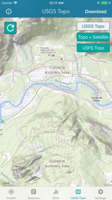
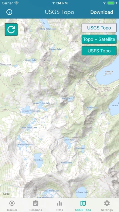
What is Topographic Maps & Trails?
** The #1 Topo Maps App for iOS ** MAIN FEATURES INCLUDE: - USGS Topographic Maps - USFS Topographic Maps - Satellite + Topo Maps - Hiking Tracker * Download all maps for offline use USGS TOPO MAP USGS Topo is a tile cache base map service that combines the most current data in The National Map (TNM), and other public-domain data, into a multi-scale topographic reference map. TOPO + SATELLITE USGS Imagery Topo is a tile cache base map of orthoimagery in The National Map and US Topo vector data. Orthoimagery data are typically high resolution images that combine the visual attributes of an aerial photograph with the spatial accuracy and reliability of a planimetric map. Data themes included are Boundaries, Geographic Names, Transportation, Contours, Hydrography, Land Cover, Shaded Relief, Trails, etc. USFS TOPO MAP The USFS Topo Map Area of Interest covers the USFS National Forests and Grasslands. HIKING TRACKER Now you can track all of your hiking stats! - Track total distance, vertical, time - Track calories burned - Keep track of yearly stats - Color coded tracks by elevation - Backup your hike data to iCloud - iOS 14 home screen widget Have questions? Feel free to contact me at [email protected]