How to Delete TroutRoutes
Published by Trout Insights, LLC on 2023-10-25We have made it super easy to delete TroutRoutes account and/or app.
Table of Contents:
Guide to Delete TroutRoutes
Things to note before removing TroutRoutes:
- The developer of TroutRoutes is Trout Insights, LLC and all inquiries must go to them.
- Under the GDPR, Residents of the European Union and United Kingdom have a "right to erasure" and can request any developer like Trout Insights, LLC holding their data to delete it. The law mandates that Trout Insights, LLC must comply within a month.
- American residents (California only - you can claim to reside here) are empowered by the CCPA to request that Trout Insights, LLC delete any data it has on you or risk incurring a fine (upto 7.5k usd).
- If you have an active subscription, it is recommended you unsubscribe before deleting your account or the app.
How to delete TroutRoutes account:
Generally, here are your options if you need your account deleted:
Option 1: Reach out to TroutRoutes via Justuseapp. Get all Contact details →
Option 2: Visit the TroutRoutes website directly Here →
Option 3: Contact TroutRoutes Support/ Customer Service:
- 100% Contact Match
- Developer: Trout Insights, Inc.
- E-Mail: [email protected]
- Website: Visit TroutRoutes Website
How to Delete TroutRoutes from your iPhone or Android.
Delete TroutRoutes from iPhone.
To delete TroutRoutes from your iPhone, Follow these steps:
- On your homescreen, Tap and hold TroutRoutes until it starts shaking.
- Once it starts to shake, you'll see an X Mark at the top of the app icon.
- Click on that X to delete the TroutRoutes app from your phone.
Method 2:
Go to Settings and click on General then click on "iPhone Storage". You will then scroll down to see the list of all the apps installed on your iPhone. Tap on the app you want to uninstall and delete the app.
For iOS 11 and above:
Go into your Settings and click on "General" and then click on iPhone Storage. You will see the option "Offload Unused Apps". Right next to it is the "Enable" option. Click on the "Enable" option and this will offload the apps that you don't use.
Delete TroutRoutes from Android
- First open the Google Play app, then press the hamburger menu icon on the top left corner.
- After doing these, go to "My Apps and Games" option, then go to the "Installed" option.
- You'll see a list of all your installed apps on your phone.
- Now choose TroutRoutes, then click on "uninstall".
- Also you can specifically search for the app you want to uninstall by searching for that app in the search bar then select and uninstall.
Have a Problem with TroutRoutes? Report Issue
Leave a comment:
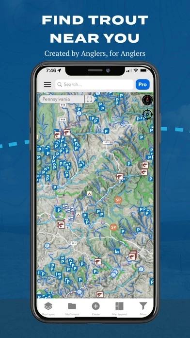
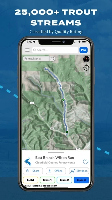
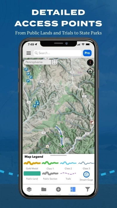
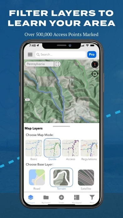
What is TroutRoutes?
this app is your ultimate guide to trout streams. Designed by avid anglers to include everything you need to discover and explore great fly fishing destinations. this app helps fly fishing anglers enjoy new trout streams, with key features like… • DISCOVER: Color-coded stream ratings allow you to find quality fly fishing spots at a glance • ACCESS: Public and non-public land and access points, trails, easements, wildlife management areas, and parking spots • EXPLORE: Detailed elevation profiles, water levels, and flow rates help you know when and where to start casting • TRACK: Log your favorite spots, streams. Your content stays private! Features: - Over 25,000 trout streams, each with custom access maps - Industry's first Regulations PRO maps, showing every stream regulation in the country - Detailed access maps include everything from fishing easements to state parks and other access points - Detailed fishing access including hiking, bridges, places to park, and other desi...